As urgency around sustainable production and mitigating climate change grows, so does the need for voluntary standards systems to innovate—so they can achieve the greatest change, as quickly as possible. The field of geographic information systems (GIS) offers a great opportunity to achieve this new degree of efficiency.
Layering data over digital maps sounds complex, but in reality we use these systems every day without even noticing it. We use them to work out the quickest route to our destination, choose the closest restaurant, and share our location with others.
GIS is constantly growing, with new potential applications in different sectors and new opportunities offered by cloud and mobile technology. Sustainability standards recognised the value of geographic data early on, and we have already seen a significant increase in their uptake of GIS over recent years. More recently, ISEAL has been supporting these efforts through the Certification Atlas project and Innovations Fund.
What have standards been doing with GIS?
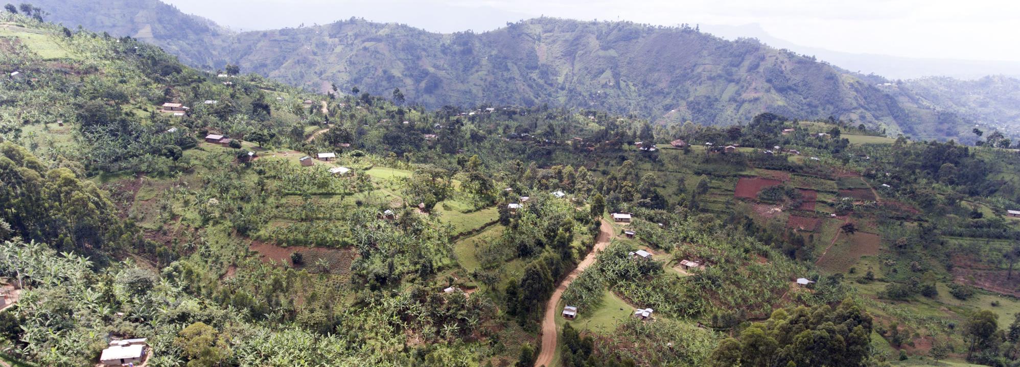
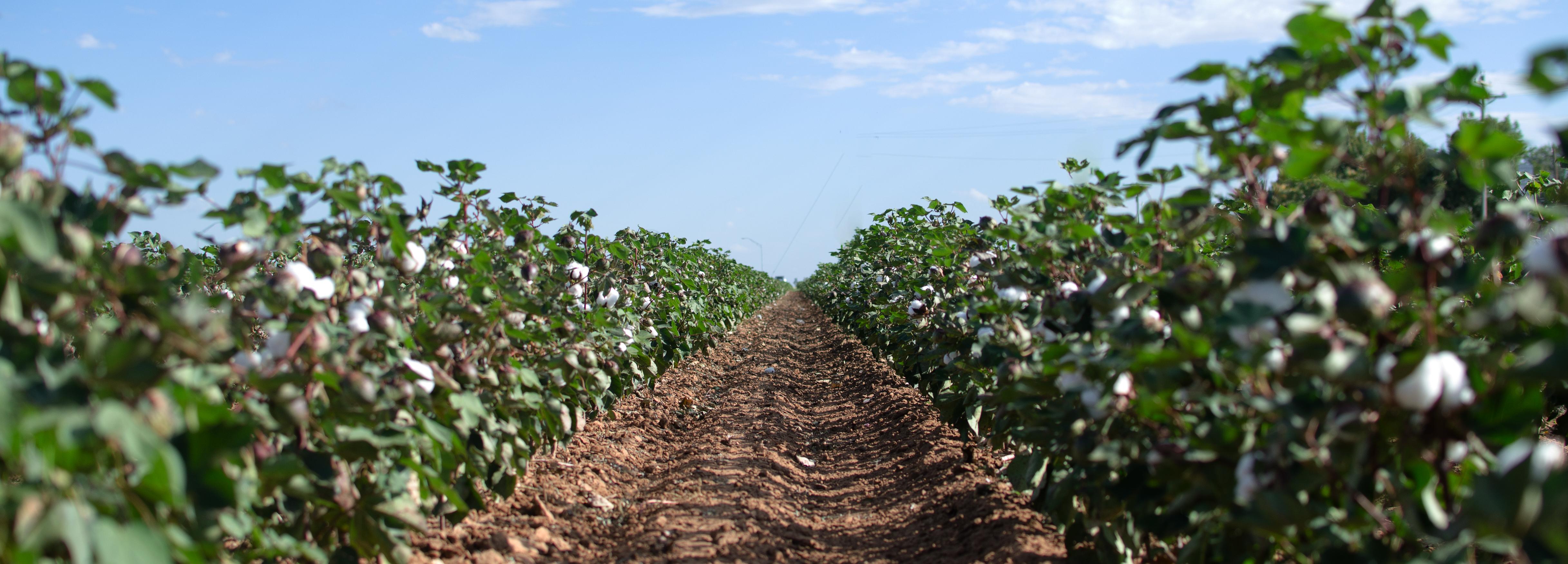
Sustainability standards have increased their use of geographic data already, using it to locate certified sites; to identify the location of key resources in surrounding areas; and to plan travel efficiently for audits.
With GIS technology becoming more powerful and accessible, ISEAL members are keen to develop new ways to unlock the potential of geospatial data. For example, to inform verification processes and to communicate their reach and impact on the ground.
How do we develop capacity?
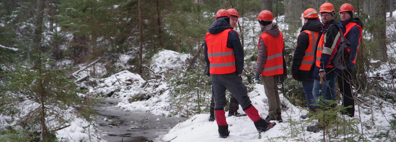
Of course, raising the capacity of auditors to collect reliable geospatial data is crucial in this process. With support from the ISEAL Innovations Fund, and in partnership with fellow ISEAL members, Accreditation Services International (ASI) recently completed a collaborative project to create practical guidance for auditors to make audits easier and more effective through the use GIS technology.
The project built on the results of a rolling survey of auditors, which revealed that their use of GIS is generally limited to basic tools, with few combining layers of geospatial data to inform their audits. Through a series of pilots, and by working with GIS experts, the project released a Self-Starter Kit for Auditors, and a short video.
What difference will it make to audits?
Collecting more reliable geospatial data will not only make audits more effective, but also open up new benefits for scheme owners. Standards that make effective use of geospatial data will be able to better demonstrate and communicate the geographical scope of certification and improve the real-time monitoring and evaluation of long-term sustainability.
So what’s the next step?
Achieving this requires standards to develop the necessary capacity, infrastructure and protocols for the collection and analysis of geospatial data. They also need to find solutions to issues around privacy, and data ownership. Practical considerations, like the cost or lack of quality aerial images for certain regions of the world, will also need to be addressed.
ISEAL members have been tackling these questions through the ISEAL Certification Atlas project. With support from GIZ, and in collaboration with the Global Forest Watch and the Rainforest Alliance. The ultimate goal of this project is to build a common vision for the creation of a visual representation of the reach of voluntary sustainability standards across the globe.
Want to learn more?
The ISEAL Innovations Fund will be opening a round of replication grants in October 2019 for ISEAL members interested in building on past innovations supported by the fund. For more information, contact fund@isealalliance.org.
Access ASI’s GIS resources on their website.